JooL Monitor transforms drone flights into detailed maps, precise measurements and field-ready reports to analyse surfaces, count plants and monitor plot evolution over time.
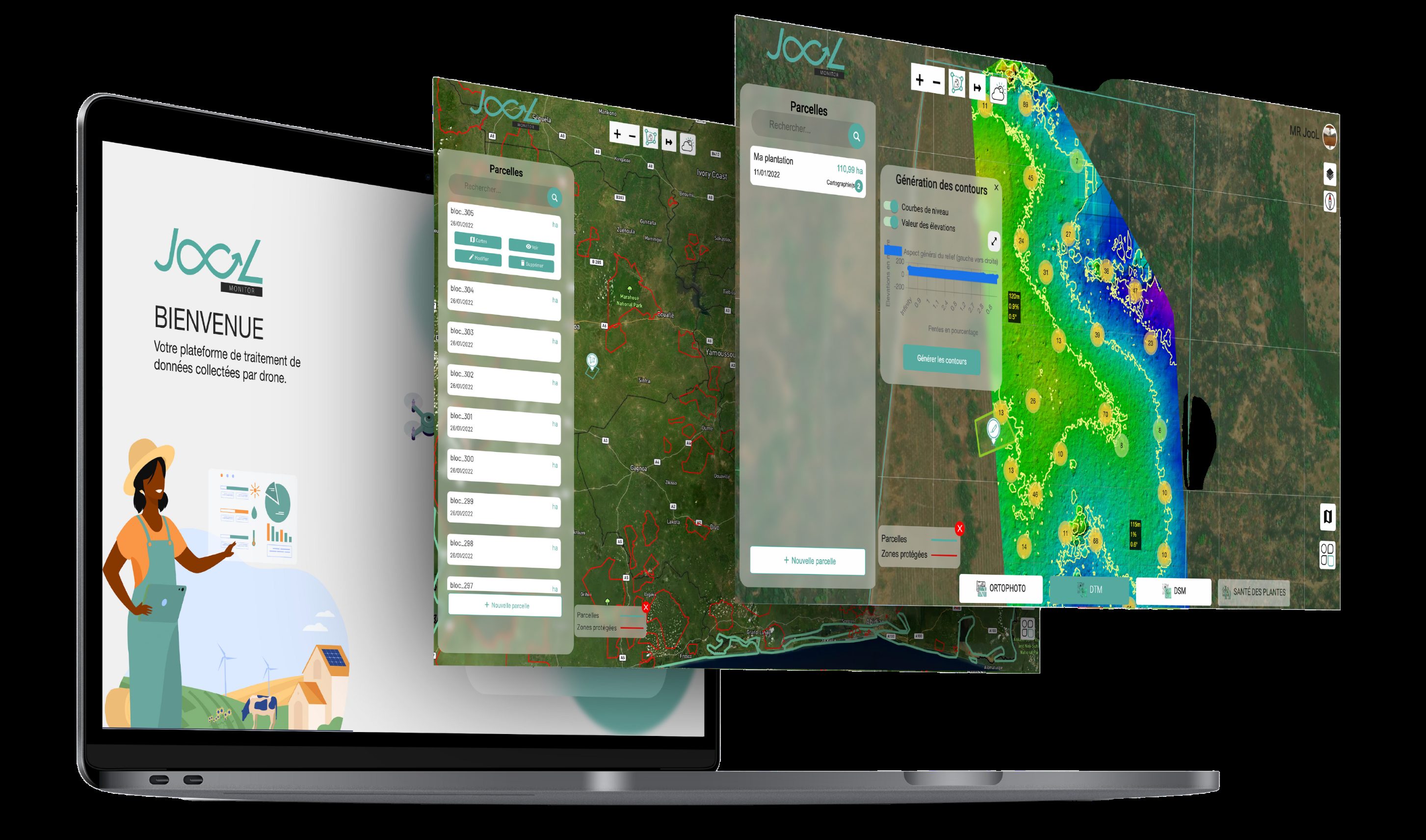
Automatically detect, count and locate plants to visualise missing trees, densities and irregularities plot by plot.
Access ultra-detailed aerial maps that are measurable, accurate and ready for operational use.
Reconstruct terrain relief, canopy structure and vegetation volumes for deeper agricultural analysis.
Compare real field conditions against declared data, identify discrepancies and document sensitive areas with visual proof.
Compare multiple drone missions to measure crop evolution, detect losses and monitor changes over time.
Download deliverables in formats compatible with your GIS systems, reporting workflows and operational tools.
From drone flight to field deliverable.
Each flight is prepared according to your plots, operational goals and field constraints.
The drone captures full-area coverage to ensure reliable, consistent and detailed field visibility.
Images are stitched, modelled and transformed into operational cartographic deliverables.
Receive maps, indicators and reports ready for operational and technical teams.
Schedule your first drone mapping mission with our teams.