KIRiQ AI transforms satellite imagery into actionable agricultural intelligence to detect risks, monitor crop dynamics, estimate yield impact and guide field decisions at scale.
Technology built around field realities, clarity and impact.
Detect water, nutrient and vegetation stress earlier — before the impact becomes visible in the field.
Prioritise the plots that require immediate action and focus resources where field impact is most critical.
Compare agricultural blocks, track changes over time and manage operations through a unified portfolio view.
Anticipate production potential plot by plot through continuous monitoring of vegetation dynamics.
Generate readable summaries for field teams, managers, cooperatives, insurers and partners.
Connect KIRiQ AI to your existing systems to streamline data flows and enrich operational workflows.
An intelligence pipeline designed for African agriculture.
Import your files or draw plots directly on the platform to launch the analysis.
KIRiQ AI retrieves the latest available satellite data to monitor vegetation conditions as close to real time as possible.
KIRiQ AI analyses the biophysical responses of vegetation — chlorophyll, biomass, humidity and canopy structure — to detect anomalies visible in the signal.
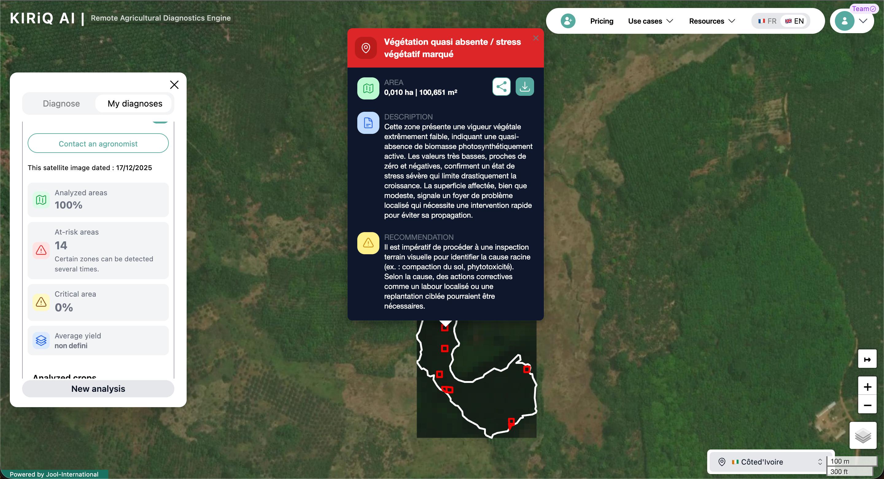
Results are delivered as maps, indicators, risk levels and priority zones to support agronomic analysis, field verification and operational decisions.
Join the agro-industrials and cooperatives already managing their farms with KIRiQ AI.